
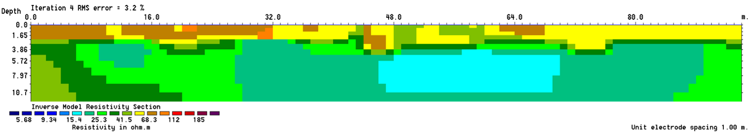
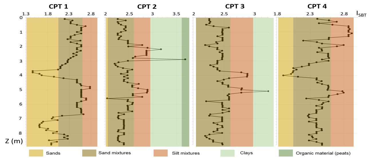
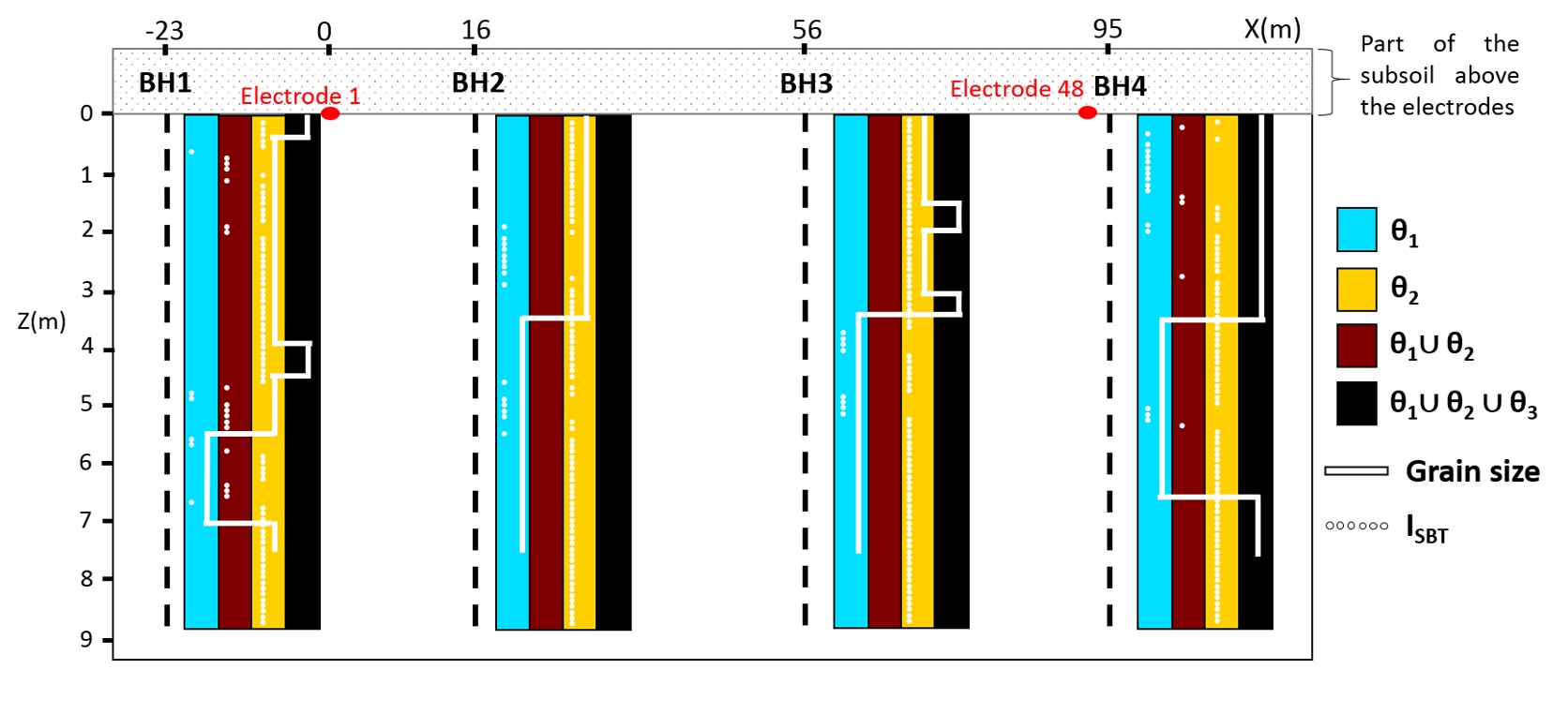
The identification of levees constitutive materials, as well as the detection of possible interfaces and anomalies, are crucial for site characterization. During investigation campaigns, complementary geophysical and geotechnical methods are usually used. These two sets of methods yield data with very different spatial scales and different levels of incompleteness, uncertainty and inaccuracy. On the one hand, geophysical methods are generally non-intrusive and provide physical information on large volumes of soils but with significant potential uncertainties. These uncertainties are due in particular to the integrative and indirect aspects (relative to the parameters related to failure modes limit state equations) of the methods as well as to the resolution of the inverse problems. On the other hand, geotechnical investigation methods are intrusive and provide more local information but also more accurate and very often directly related to parameters related to failure modes limit state equations. An important issue to improve the characterization of subsoils and existing levees is to be able to combine acquired geophysical and geotechnical data, while taking into account their respective uncertainties, inaccuracies and spatial distributions. The complementarity of these two sets of methods is often underused since the uncertainty and inaccuracy associated with each method are rarely considered. Furthermore, results are usually only graphically superimposed and considered with an expert opinion instead of being mathematically merged. These works propose a specific methodology in order to manage conflictual information and different levels of uncertainties and inaccuracies from different investigation methods, expanding geotechnical information between borehole positions. It presents a new way of mathematically combining data from these two types of information sources, taking into account the specificities of each kind of method. This new methodology considers the framework fixed by the theory of belief masses and improves the characterization of lithological sets within levees and their foundation. It provides information on the level of conflict between information sources while proposing a confidence index associated with the results.
By: Théo Dezert
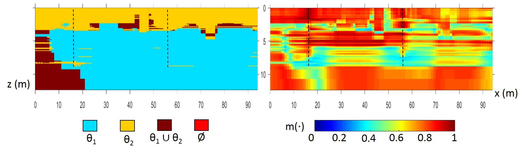
Figure 1: Section of a levee with representation of lithological materials having the highest belief mass values after fusion process between electrical resistivity, granulometry and CPT data (left) and their associated belief mass values (right).
References :
- Dezert, T., Fargier, Y., Lopes, S. P., & Côte, P. (2019). Geophysical and geotechnical methods for fluvial levee investigation: A review. Engineering Geology, 105206.
- Dezert, T., Lopes, S. P., Fargier, Y., & Côte, P. (2019). Combination of geophysical and geotechnical data using belief functions: Assessment with numerical and laboratory data. Journal of Applied Geophysics, 170, 103824.
- Dezert, T., Fargier, Y., Palma-Lopes, S., & Côte, P. (2019, September). Levee Characterization by Means of Data Fusion of In-Situ Geophysical and Geotechnical Information. In 25th European Meeting of Environmental and Engineering Geophysics (Vol. 2019, No. 1, pp. 1-5). European Association of Geoscientists & Engineers.
- Dezert, T., Fargier, Y., Palma-Lopes, S., & Cote, P. (2018, September). Application of Belief Functions to Levee Assessment: chapter X in: Belief Functions: Theory and Applications.
https://hal.archives-ouvertes.fr/hal-01891806/
- Dezert, T., Lopes, S. P., Fargier, Y., & Cote, P. (2018, September). Geophysical and Geotechnical Data Fusion for Levee Assessment-Interface Detection with Biased Geophysical Data. In 2nd Conference on Geophysics for Mineral Exploration and Mining (Vol. 2018, No. 1, pp. cp-566). European Association of Geoscientists & Engineers.
https://www.earthdoc.org/content/papers/10.3997/2214-4609.201802536
Recent Comments